Rural Focus has specialized staff with high-end domain knowledge coupled with software and hardware capabilities to perform all GIS-related tasks. Our services range from field data collection over large areas to small-scale high detailed designs using Drones and GNSS Network RTK Surveys. We employ the vast capability of the ArcGIS and Google Earth Engine platform coupled with various dynamic open source and propriety analytical software to give high-quality spatial analytics and presentations. Vested in the dynamics of GIS, RFL staff keeps up with current technologies through constant education and certifications to keep up with the growing technology.

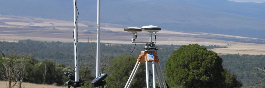
RFL has been involved in large scale spatial data collection on water sources of most of Kenyans ASAL Counties. This is done by mobilizing field teams with hand held GPS and mobile gadgets to collect data in the field. This data is uploaded electronically to the office for post processing and analysis and storage. RFL has skilled personnel in spatial databases creation and management for various needs ranging from storage of raw data to inbuilt data analytics and presentation. Databases expertise of RFL include Microsoft Access, PostgreSQL, MySQL, CloudSQL, Firebase and MongoDB.


RFL helps to unlocks the power of your spatial data through machine learning and statistics to achieve optimal solutions. Mathematical manipulation of data and information is a key core expertise from RFL team of Engineers and Analysts that allows for highly scientific research ranging from groundwater analytics to surface water runoff potentials and their effect on landforms and cultures (socially, economically and environmentally). The analysis allows for best scenario planning in environmental management, social capacity building, water resource monitoring, engineering designing, water supply & sanitation, organizational & project support and agricultural development projects.

Rural focus has under various projects managed to instill the discipline of the need for GIS implementation on various institutions to help in the management of natural resources. This has been done for various government ministries, parastatals and private organizations to streamline management of resources with location data to help make better decisions on development and conservation. RFL offers institutional GIS trainings in this regard with follow-up on implementation and maintenance.
RFL has specialized expertise in cartographic designs and spatial data presentation ranging from small size paper maps, large format maps, web maps and specialized mobile and desktop application maps according to client needs and specifications.
