Survey is purposely to determine the 3D position of points and the distances and angles between them. RFL has highly skilled, efficient and well-equipped survey team to perform any kind of survey. The surveys are tailor-made for each specific project and client depending on the accuracy and level of detail required.
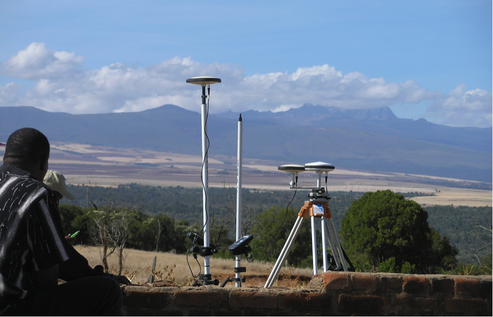
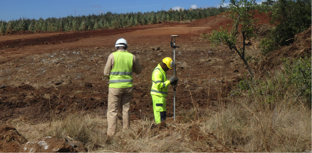
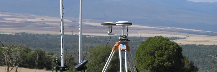
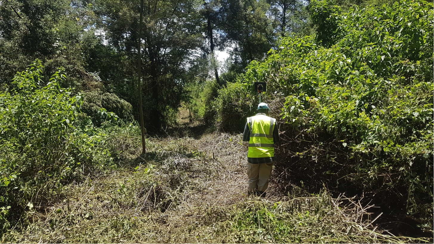
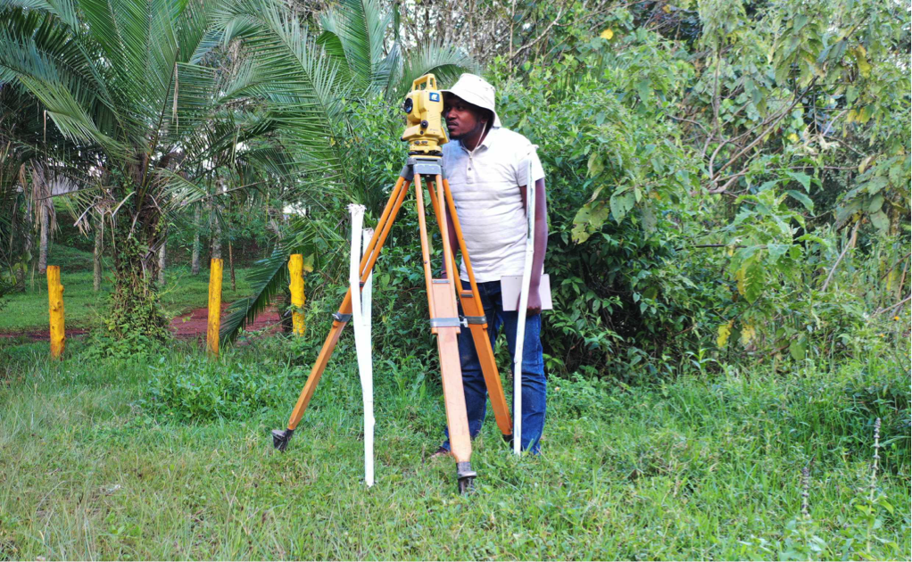
RFL performs topographical surveys for multiple purposes ranging from small land surveys for creating greenhouses to multi-million civil infrastructure development. 2D and 3D plans and models are created from the survey data to present this information. Onsite survey control is established by GNSS and benchmark established and set using a specified coordinate system and datum. Using a GNSS Network RTK a high accuracy is met for open area but in urban areas and closed canopy, total stations with reflectors are used.
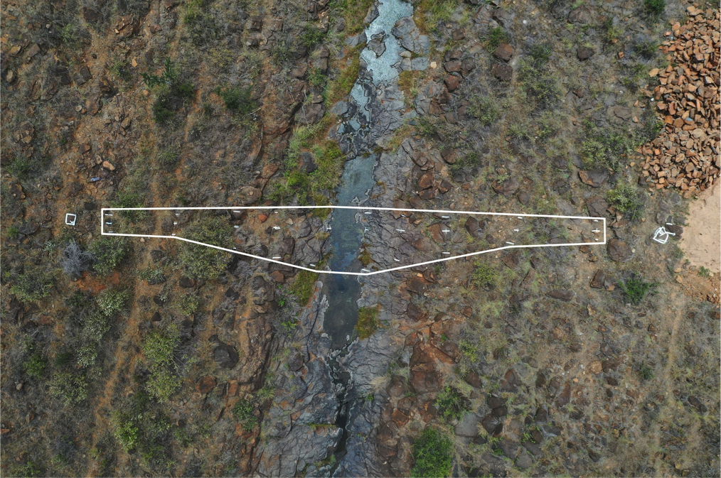
Data post-processing is performed on the data and the raw data is electronically transmitted to the office where data analysis takes place using various software e.g. AutoCAD, ArcGIS and Surfer. The products are 2D and 3D plans and models in AutoCAD and ArcGIS compatible formats. The various outputs including layout drawings, contours, GIS Maps, Triangulated Irregular Networks (TINS) and Digital Elevation Models (DEMS). All files are stored indefinitely and are available to clients upon official request and legal contractual agreements.
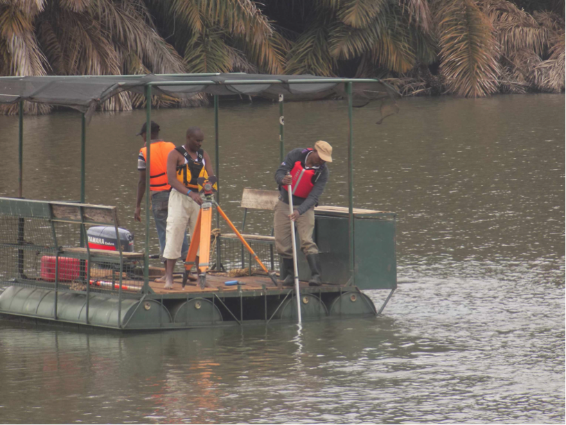
RFL conducts hydrographic surveys by measuring and describing maritime features using collected data. Hydrographic surveys determine the nature of water bodies such as reservoirs/dams, lakes, seas and oceans. Characteristics such as the depth and width are determined and stated accurately from the surveys. RFL has expertise in conducting surveys on the coastline of the Indian Ocean and also performing surveys in dams to determine siltation levels and monitor the volume changes in water.
Through a highly qualified team of surveys, RFL is able to provide quality geospatial information for constructions projects, both small- and large- scale. RFL provides information which enables quality control for construction projects by ensuring the designs are followed for efficient use of resources. We use a combination of GNSS RTK, Total Stations, and Drone imagery to deliver the complete engineering surveying solutions for your project requiements.